
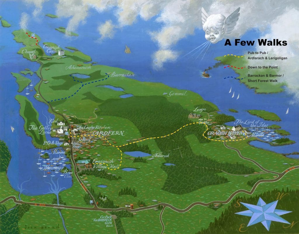
Pub to Pub
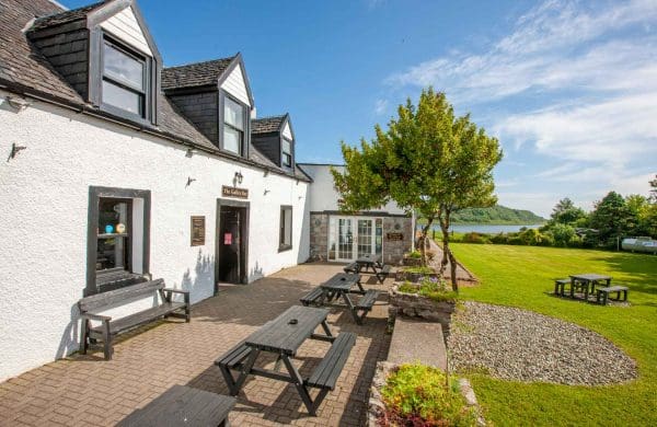
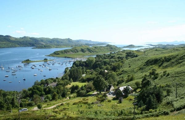
Perhaps the most popular and easiest walk is from The Galley of Lorne pub in Ardfern to The Lord of the Isles in Craobh across the Lunga Drive, arriving just in time for lunch/supper. Or vice versa depending where you start. The route is marked in yellow on the map.
Ardlarach & Lerigoligan
This walk takes you on to the old road, which used to run down the middle of the peninsula rather than along the coast. Start off walking towards Craobh Haven, but just past where the tarmac finishes take the right fork. Continue, bearing right at the next fork, just past the cattle grid, until you approach a cottage. The track runs in front of the cottage and up some stone steps leading to two chalets. At the top of the steps, turn right, go through the gate ahead of you and bear slightly right, uphill. Near the top of this slope, the track appears to peter out, but turn left on the grass and you will soon see it ahead of you again. Carry on to the top of the rise, then on down the track until you see houses below you and a gate on your right. Go through the gate and down the hill, eventually coming out in the village hall car park. Also marked in yellow on the map.
Down to the Point
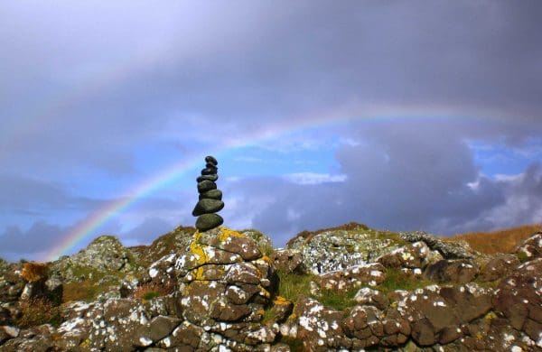
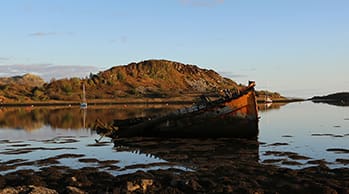
To get a good view of the Corrievreckan whirlpool, either walk or drive south on the main road from Ardfern leaving Kilvaree chapel on your left and Craignish Castle on your right. After about three miles you reach a gate, just before a cottage. Continue along the track until you come to the car park by the pier – a great spot from which to watch the sun setting in the west. Walk on south; the track, which crosses a bog then snakes up the side of the hill, is easy to find. The views from the hill are spectacular. In some conditions, the standing wave near the Scarba shore - and the turbulent water - can be seen with the naked eye, but for a really good view, take binoculars. Carry on down to the point itself and you may even see an otter. Last section marked in red on the map.
Barrackan & Barmor
Just over half a mile south of the centre of Ardfern, take the track on your right, immediately before 'Heron's Cottage'. Walk up the track, which leads past the entrance to Corranmor farmhouse and over two cattle grids. The track continues for about a mile, going through one gate en route, until it bends sharply to the right, giving wonderful views westwards to Scarba, Jura and Mull. At this point, if you are feeling energetic, take the rough track to your left and head up the hill. It's a short, steep climb, but the panoramic view when you reach the trig point at the top is well worth the effort. If you're interested in history, continue downhill on the track and past the front of Barrackan, the large house at the bottom, until you reach a gate leading into a field. Turn right in the field and walk round the edge until, in about 300 yards, you see a small mound to the west of the path. Lying on the ground is a stone, 6 feet long, with two small crosses and a large pecked design like two Bs back to back. This stone (Leac an Duine Choir - 'Flat stone of the Just Man') is said to have been taken as a lintel for the farmhouse, but was replaced when 'a voice came every night asking for it to be put back'. Marked in dark blue on the map.
Short Forest Walk
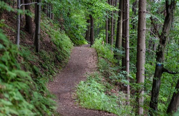
Start off as for the previous walk, but about 300 yards past the second cattle grid, take the track which goes off to the left. This brings you to a stile which leads into a fir plantation. From here, the route is marked by official walkers' signs. The walk leads past a freshwater loch, where there is a seat. Also marked in dark blue on the map.